


Rensselaer hosted the first annual Workshop on Image-Based Modeling and Navigation for Space Applications in June.
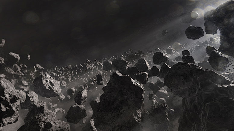
Images collected by spacecraft are one of the primary sources of information for understanding our solar system. These same images may be used to determine the spacecraft’s location. Despite decades of experience with processing space imagery, a number of challenges continue to limit where we explore and how much we learn while there.
This workshop brought together the world’s experts in space-based imaging, modeling, and navigation to share new developments and to identify areas of common need. According to John Christian, assistant professor in aerospace engineering at Rensselaer and the workshop organizer, the workshop “offered a unique opportunity for the entire community to learn from each other. We were pleased to host our colleagues at RPI for this important forum and to share our institution’s rich history in space exploration.”
More than 60 people from 25 national and international organizations attended the workshop, which included presentations from Rensselaer, NASA, the European Space Agency, Johns Hopkins University Applied Physics Laboratory, C.S. Draper Laboratory, KinetX, Jena-Optronik, University of Texas at Austin, University of Colorado Boulder, Stanford University, and many more.
In addition to Rensselaer, the workshop was co-sponsored by the New York Space Grant Consortium and the American Astronautical Society.
See Original Article in the Renssleaer Alumni Magazine